
Via Valais 2019

8 amazing days on high alpine trails – Bikebergsteigen at its best.
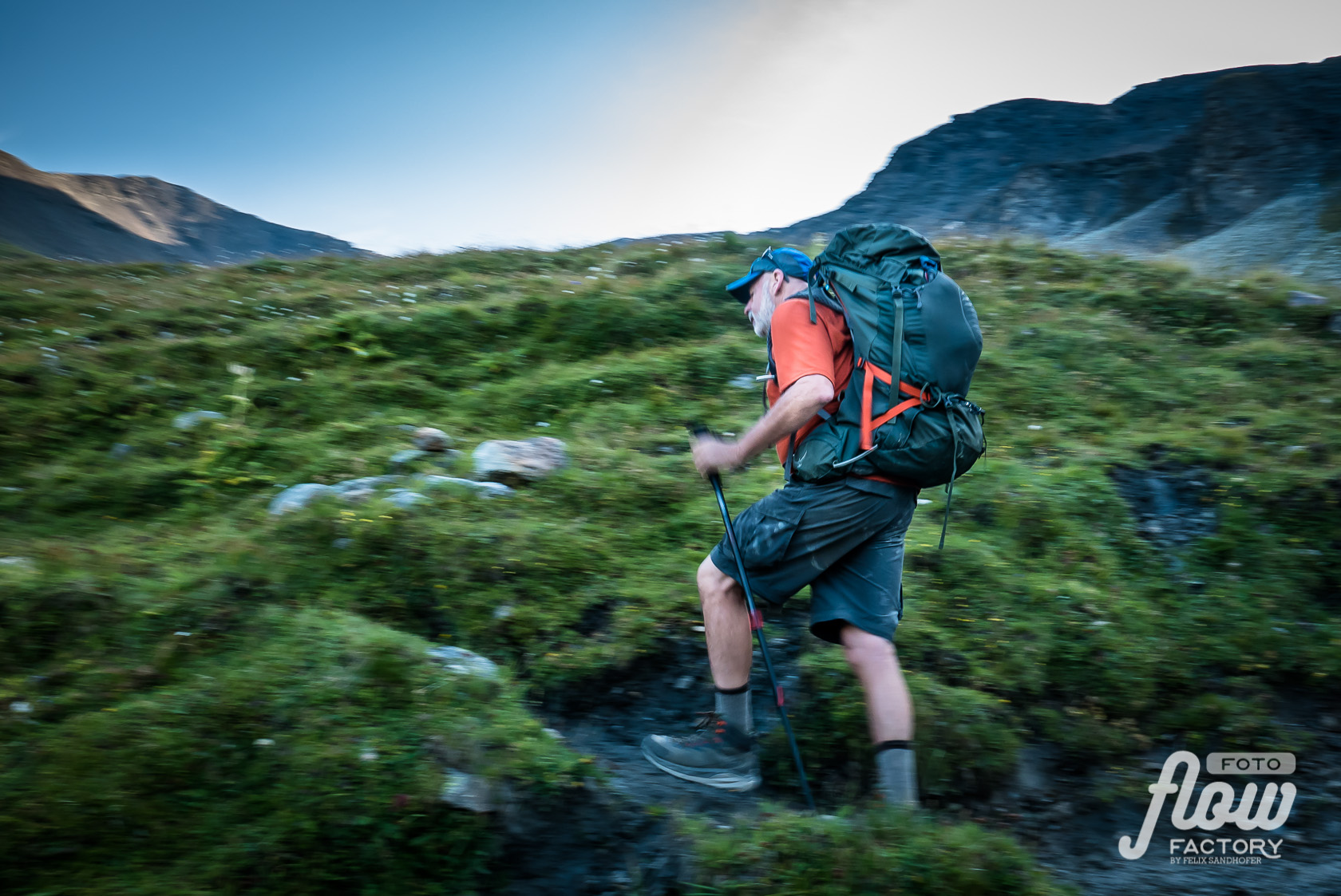
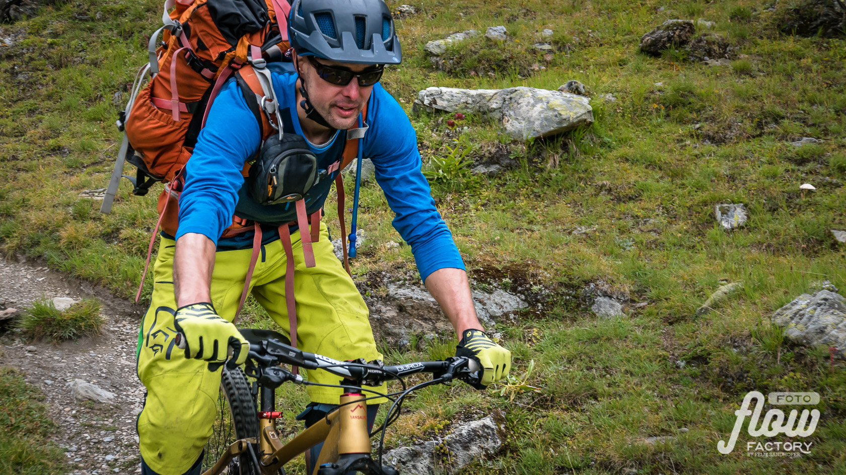
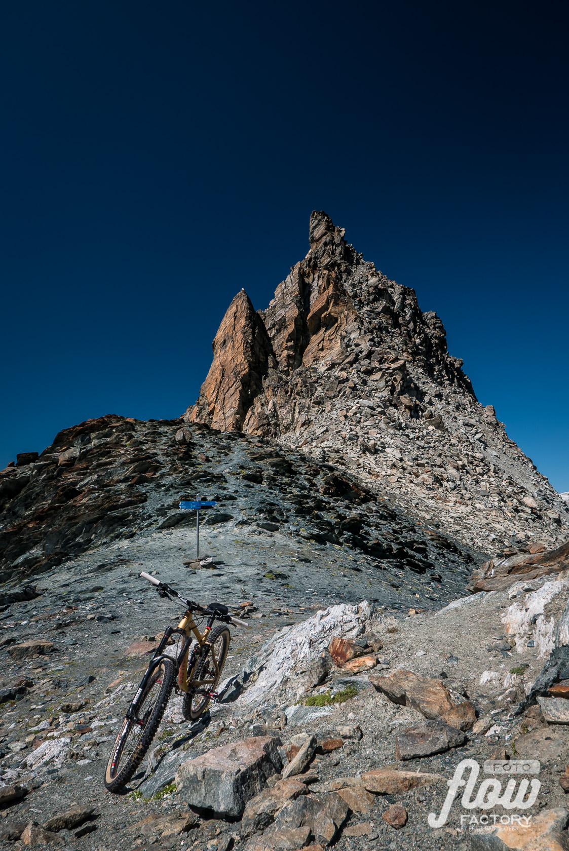
From Verbier to Zermatt following the new established Via Valais, the trail running haute-route. What trail runners can run, should be possible to ride with the bike (for me) – at least down and on straight sections…that was the expectation…with some adjustments on the route it was possible but more exhausting than probably for a trail runner because of the weight of the bike, which mostly has to be carried up to all the high alpine passes (some 13.5kg extra) and the very rough rocky sections on flat spots, where the bike has to be pushed over.
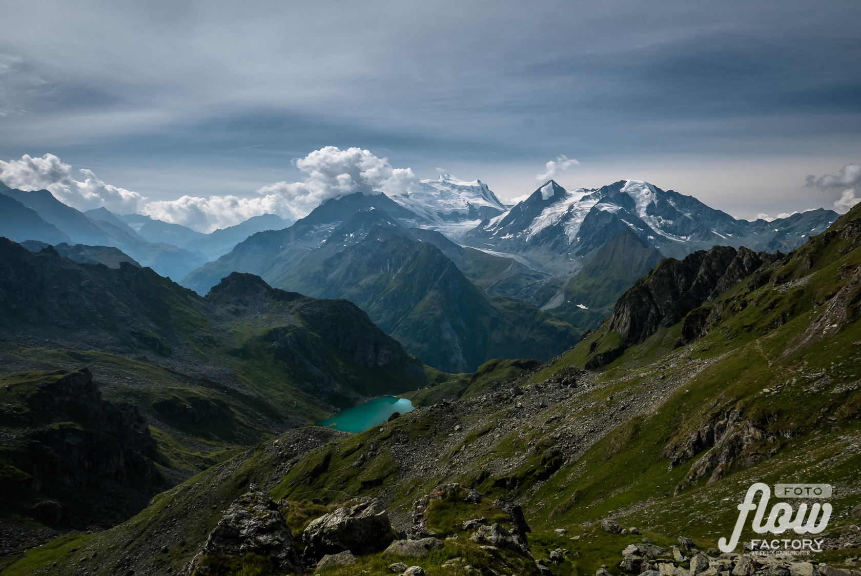
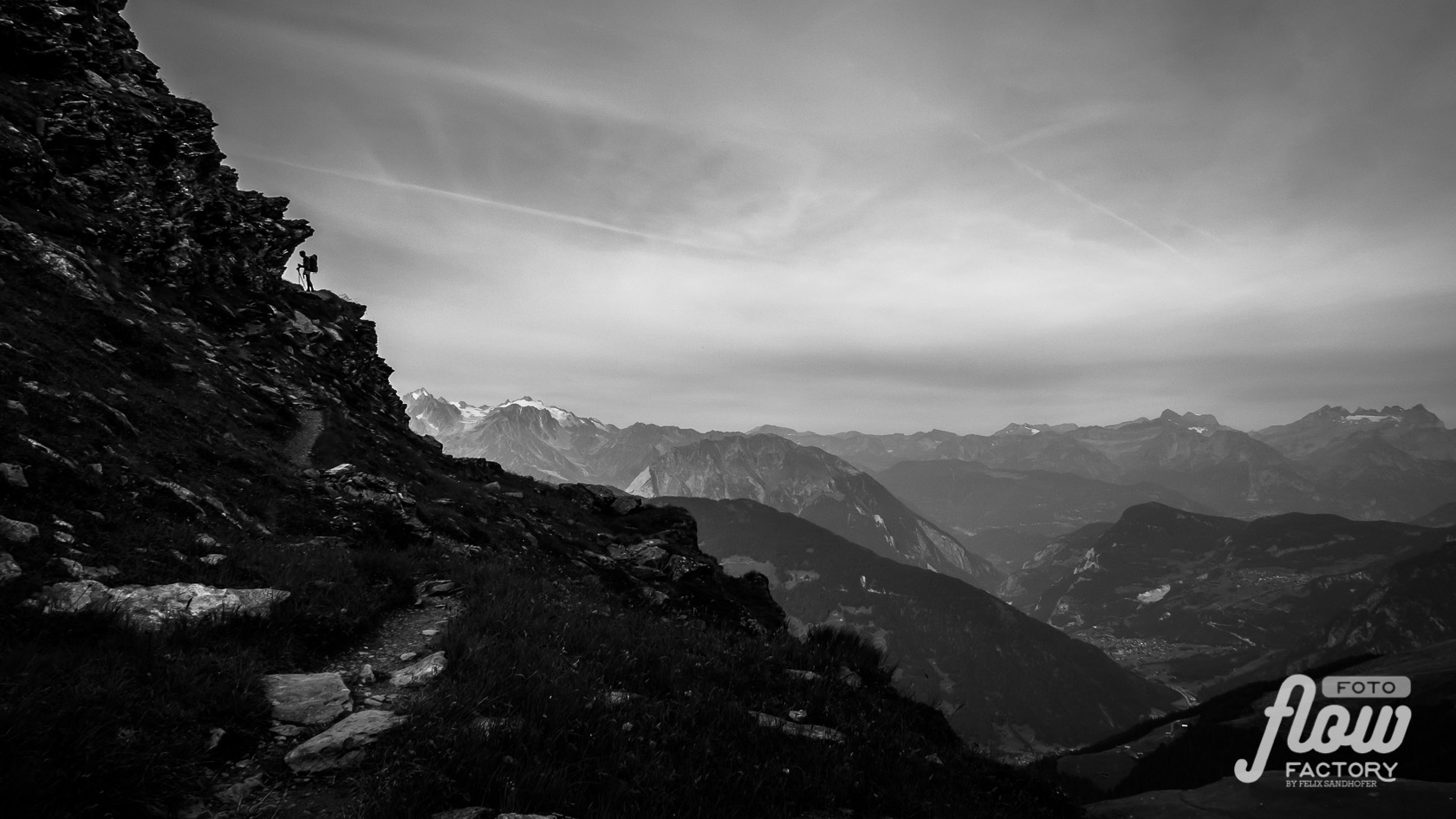
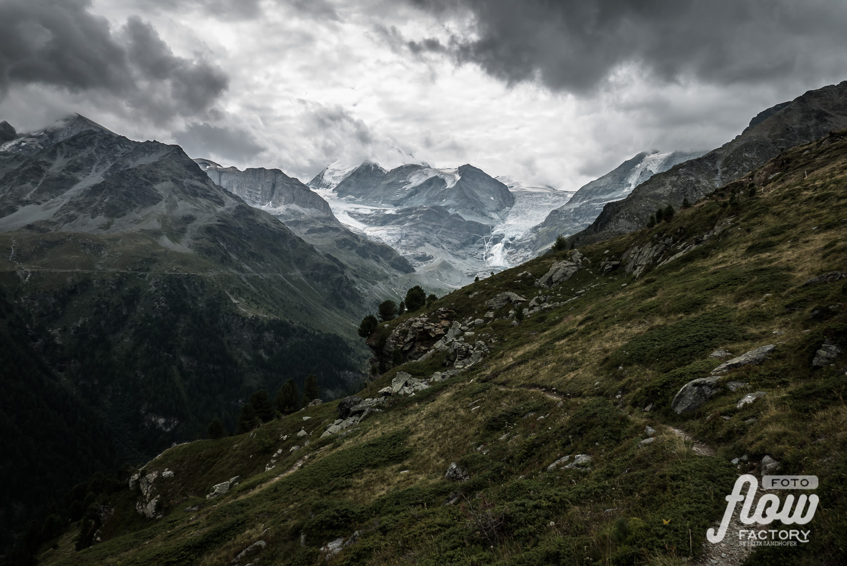
It was a challenge in a wild nature with amazing alpine sceneries and awesome people.
Navigation:
Preparation & Packing
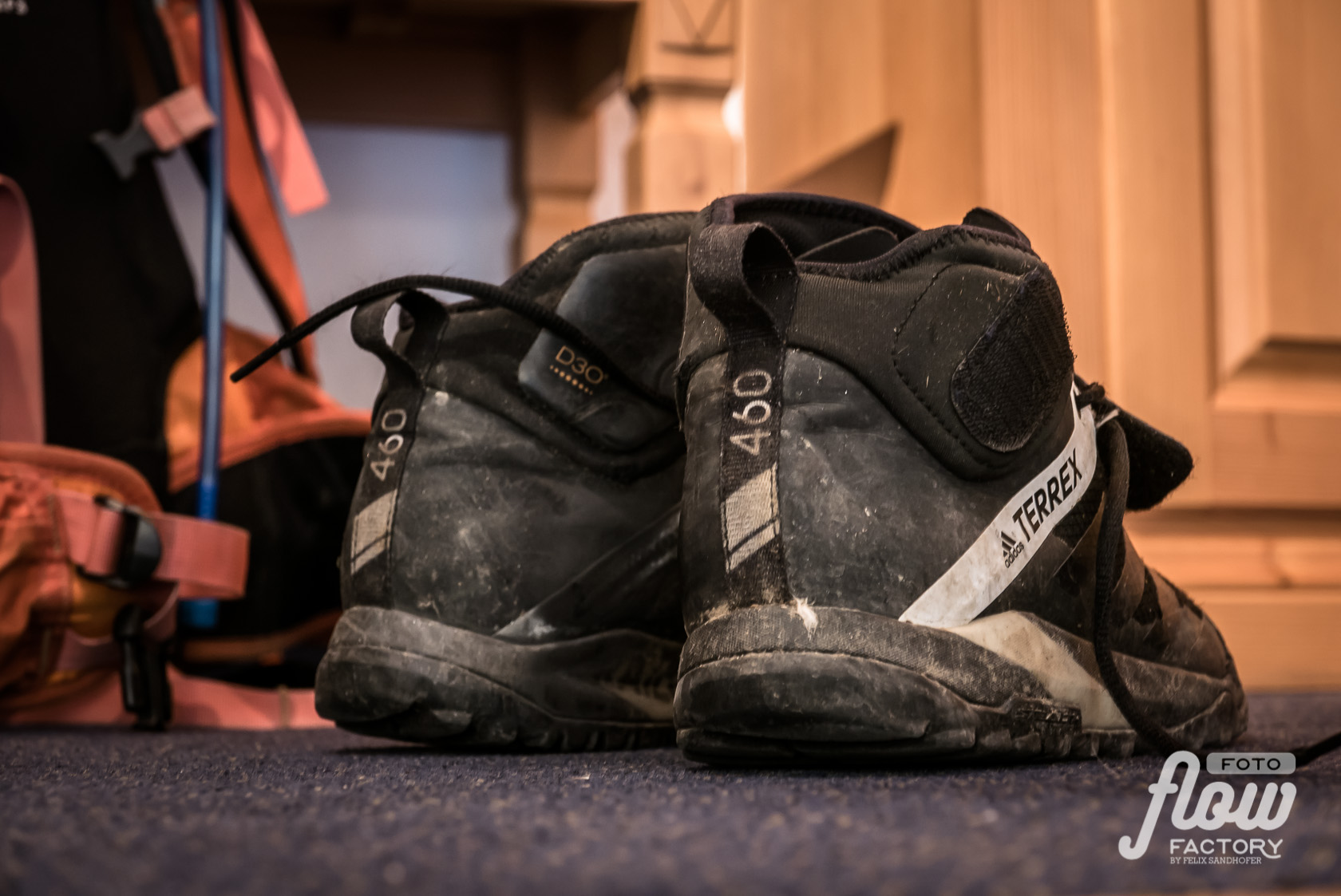
Eight days in a row out in high alpine environment needs seriously preparation. The equipment should be reduced as much as possible because of its weight by keeping the safety as high as possible. While trailrunners can go on ultra light clothes, Bikebergsteiger are doing good to have an eye on durable clothes because some of the stuff is more stressed with dirt, pressure and weight especially in bad weather conditions rather than during trail running. I went back on my stuff I already owned and was used to. So my backpack was for sure heavier, than it could have been, but therefor I didn’t have to invest a lot of money into new unproofed equipment.
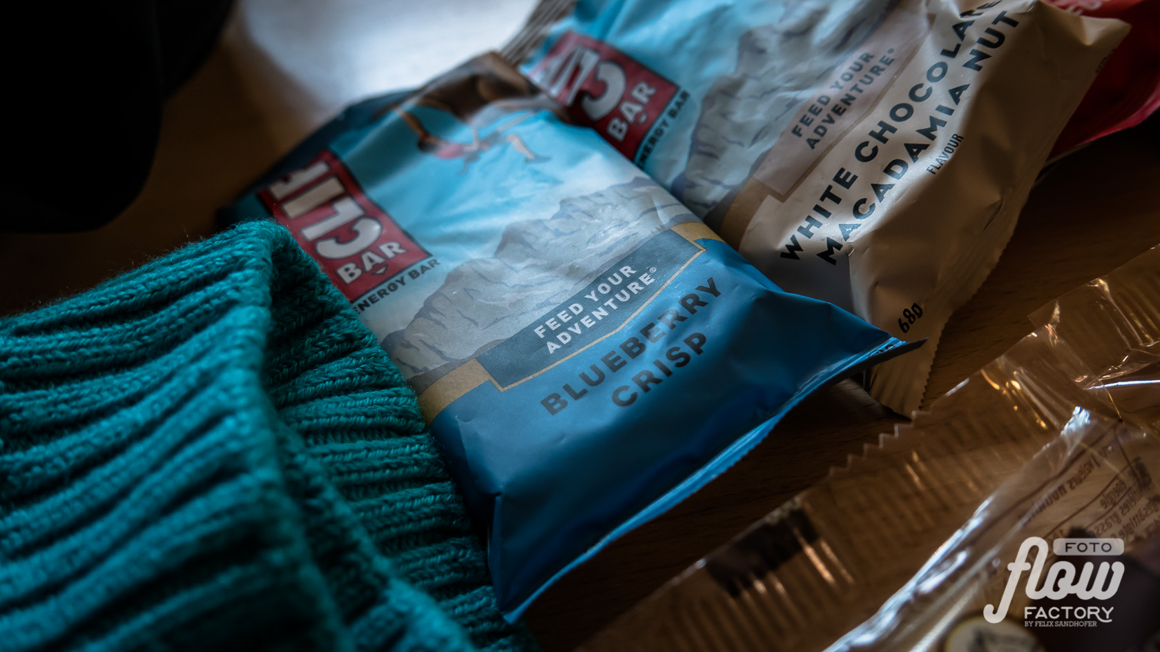
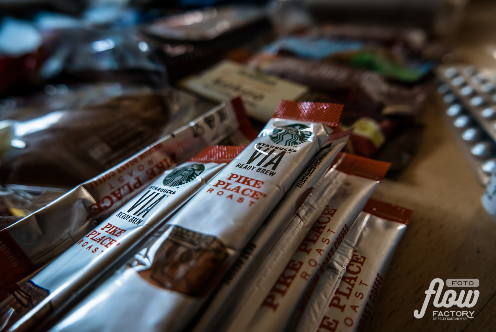
Staying in huts makes it easier for food supply on the way. It also means less choice for lunch and higher prices. So I mostly carried lunch for two to three days with me.
What to pack – packlist
At the Via Valais-Website you’ll find a lot of information about preparation, packlists and tipps. I mostly orientated me on their recommendations and adjusted it to my personal needs and experiences.


Stages – Overview
The original Via Valais-Route is described detailed on the Alpsinsight website. There you also find all the GPS-Tracks of each stages and a lot more information.
The inventors of the Via Valais has chosen trails very carefully to the trail runners needs…a great compliment to Kim Strom, Janine and Dan Patitucci…well done!
In the following you find an overview over my 8 stages from Verbier to Zermatt. Because of doing it by bike and due to bad weather conditions there were several adjustments to the original route.
Stage 1
Verbier to Cab. d’Essertze
31km |
↑ 1’654m ↓ 1’646m |
Stage 2
Cab. d’Essertze to Cab. Aiguille Rouge
30km |
↑ 1’854m ↓ 1’241m |
Stage 3
Cab. Aiguille Rouge to Cab. Becs de Bosson
40km |
↑ 2’547m ↓ 2’346m |
*) route modified for better uphill riding.
Stage 4
Cab. Becs de Bosson to Cab. de Moiry
22km |
↑ 1’226m ↓ 1’383m |
*) route slightly modified for more trail riding.
Stage 5
Cab. de Moiry to Zinal
17km |
↑ 832m ↓ 1’984m |
*) route shorted because of weather conditions
Stage 6
Zinal to Turtmann hut
36km |
↑ 1’916m ↓ 1’070m |
*) rout sligthly modified for better uphill riding.
Stage 7
Turtmann hut to Täsch
36km |
↑ 1’406m ↓ 2’488m |
*) route changed over Augstbordpass because of bad weather conditions.
Stage 8
Täsch to Zermatt
25km |
↑ 1’823m ↓ 1’621m |
*) customized stage with traverse Pfulwe
8 days. 237 km. 13’300 hm.
Warning
The route is considered for trail running. Most of the trails are in the grade T2/T3 but several of them are fairly exposed. Translated to the bike scale means most of the used trails include quite a lot of S3 sections in descents. You also should be able to handle S4 sections safely. If you don’t, plan to use a different route…it won’t be fun, when you also have to walk down.
Flow Factory are not responsible for injury or loss of any kind. Anyone undertaking these routes is solely responsible for their own safety.
Impressions


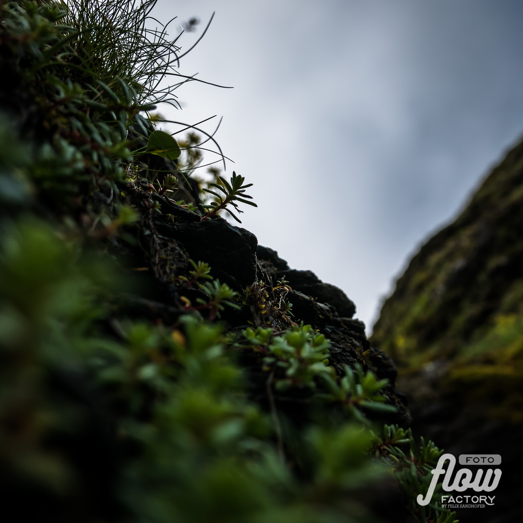


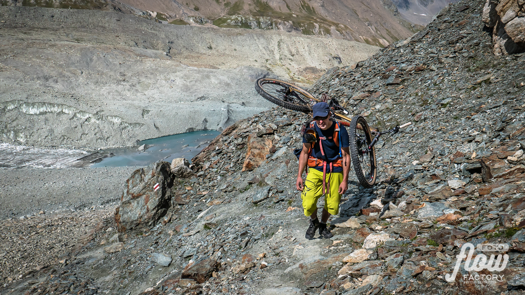
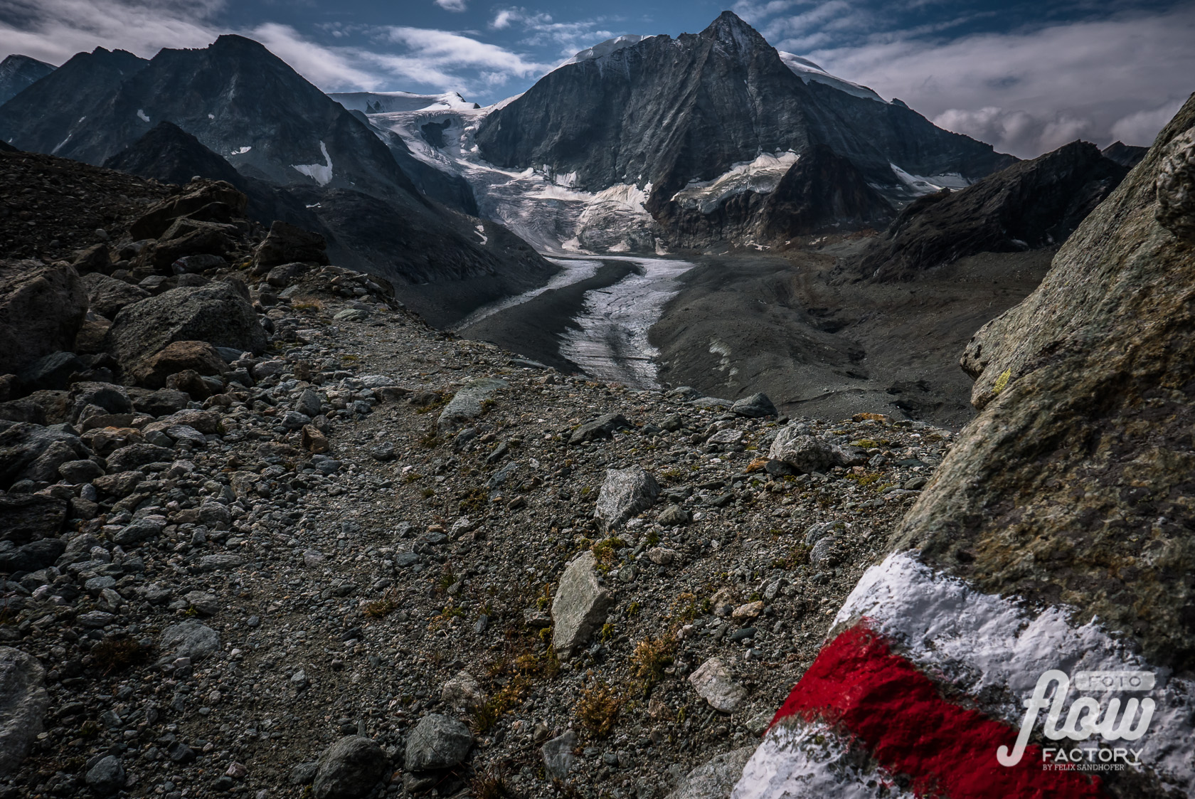
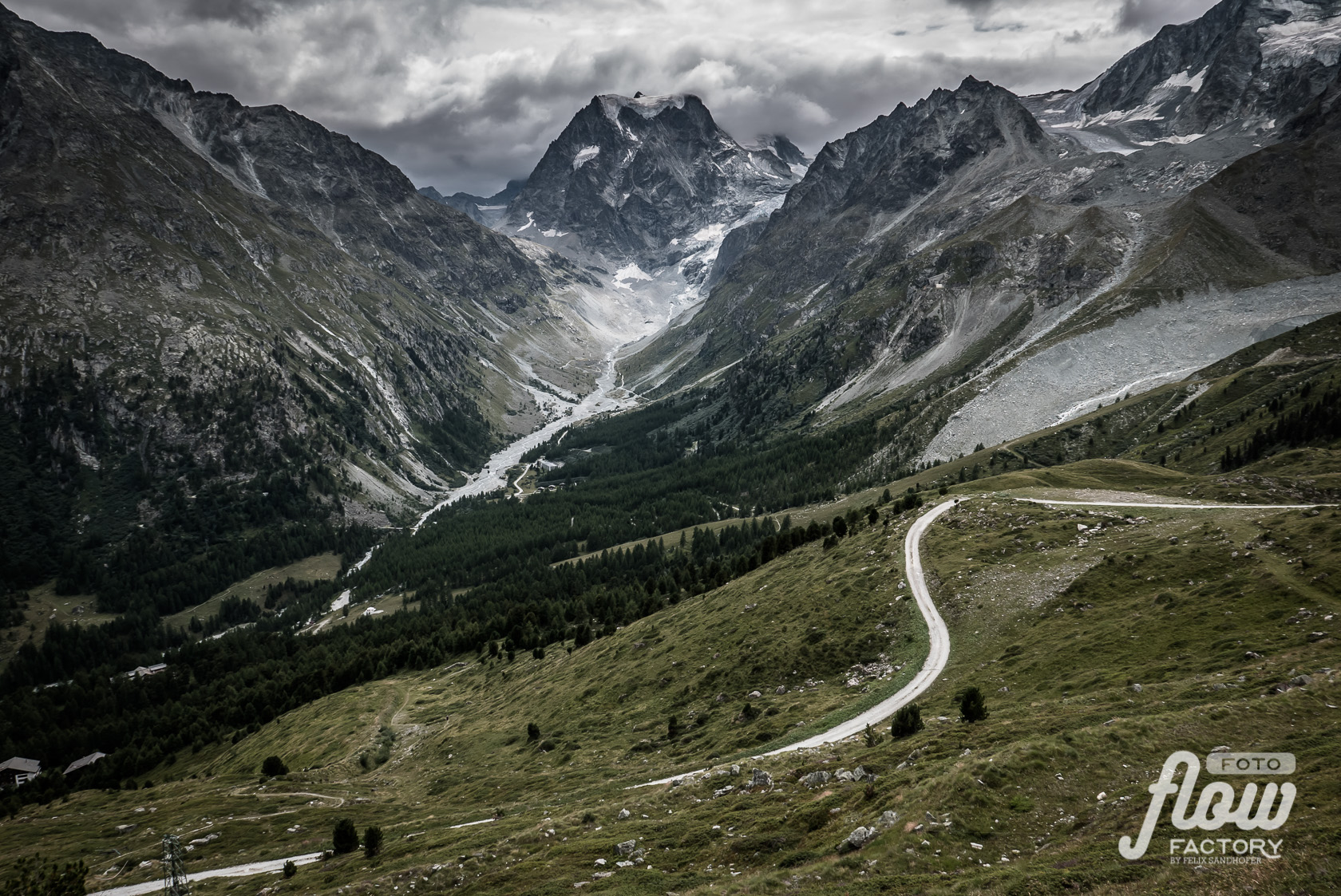







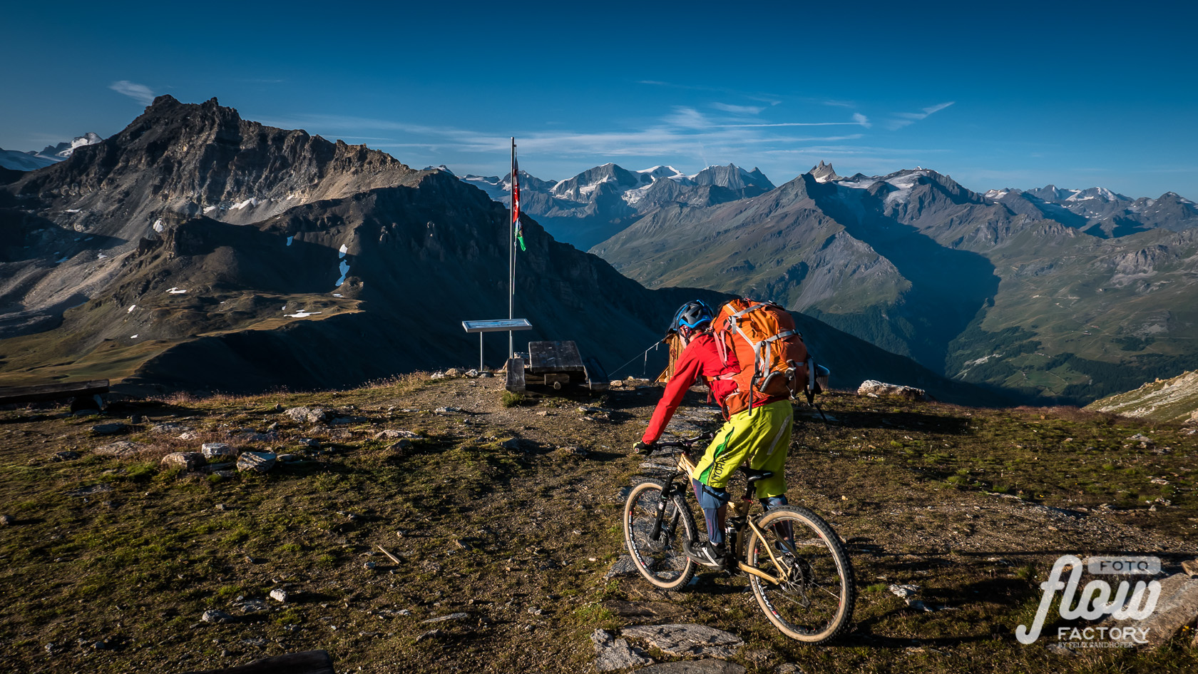
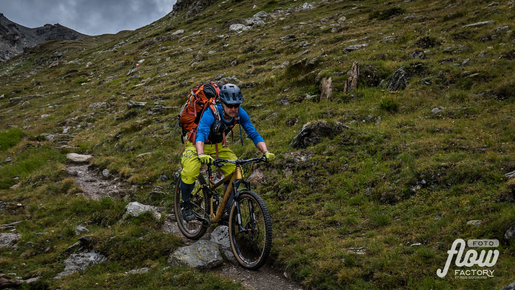
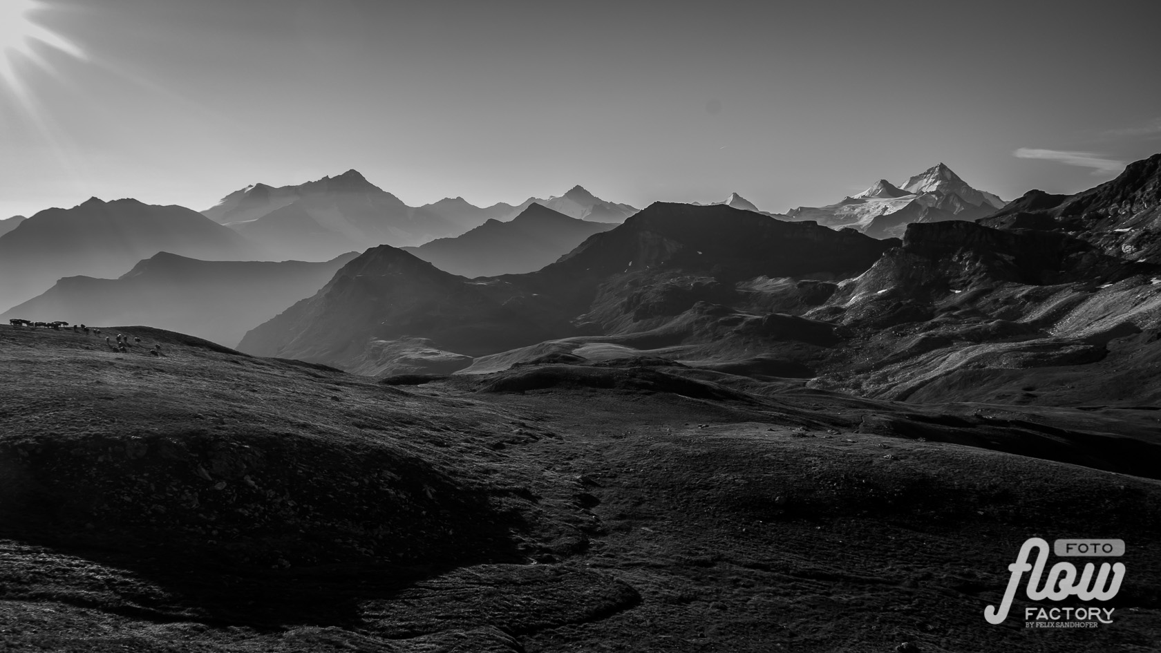

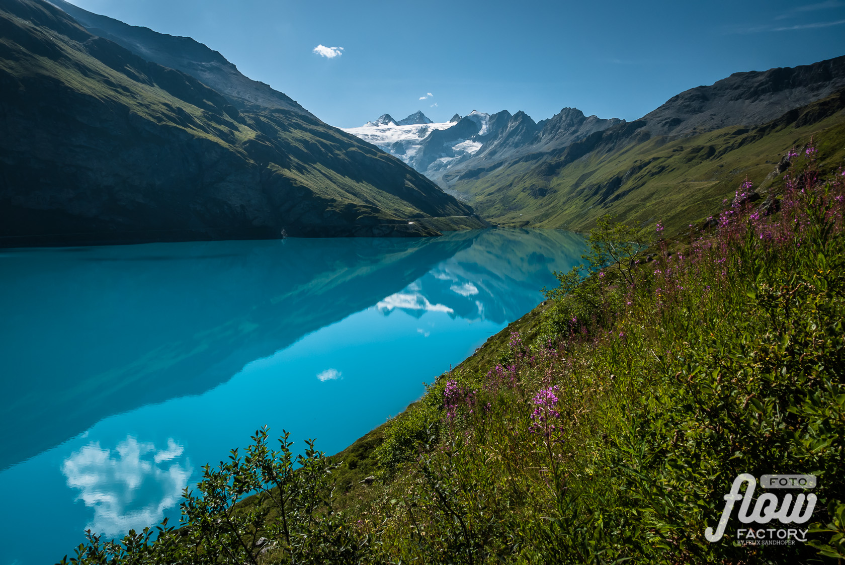












Tipps
Food:
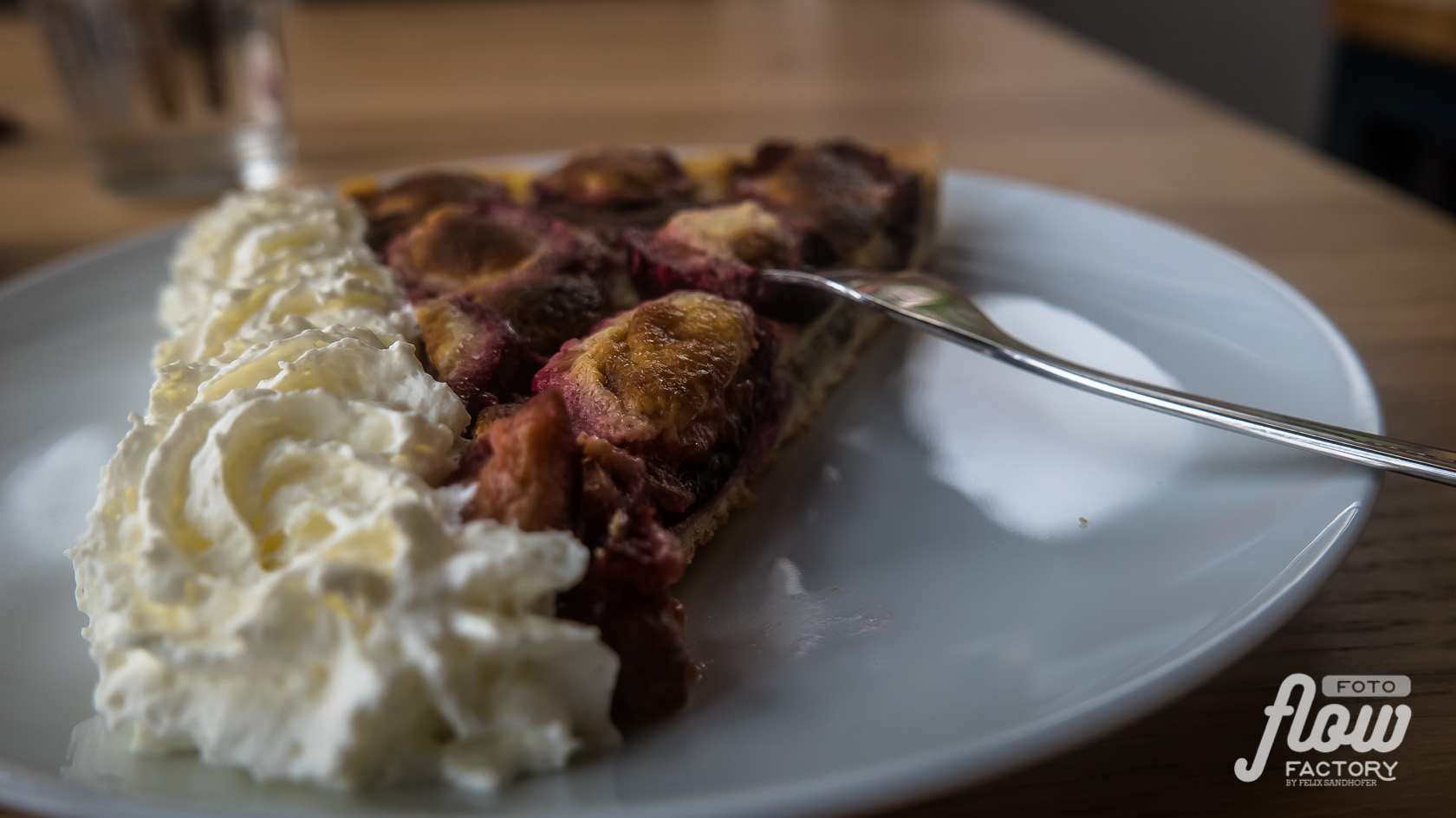
- Most of all of the huts sells homemade cakes and tortes. Yummie! A great motivation and reward for all long exhausting climbs > Coffee and cake!
Prices varies from CHF 4.- to 9.-. Whipped cream costs extra.
Two favorite one’s to mention here: Mountain Lodge Ze Seewjinu (Zermatt) and Jungeralp (Jungo).
- Half-pension in huts includes mostly a 3 to 4 course meal (soup and/or salad, main dish and desert) and a breakfast consists of bread, muesli/yoghurt, cheese/ham and coffee/tea. The one in the Cab. de Moiry CAS was fantastic.
- Drinking water: there are plenty of options to refill your bottle on the way – do not carry to much. The Katadyn be free was excellent for the huts – saved me some money of buying expensive drinking water.
- Burger-Time: After eight days a lot of sweat and burned calories I celebrated my arrival in Zermatt with a tasty Mexican burger “with all” at Brown Cow Pub, followed by a huge ice cream (3 scoops) at Gelati italiano. 🙂
Accomodation:
- Huts varie from very rustic to very modern with high standard, even with showers (Cab. Aiguille rouges, Cab. Becs de Bosson).
- Reservation: in high season it is necessary to do reservation in the huts due to have a bed. In side season (after holiday – September) huts are less busy during week. Over weekend it is still recommended to do reservation.
- Zinal: The hotel Le Trift is in my opinion a very good choice. Prices are very moderate and the food (dinner and breakfast) are very delicious!
- Verbier: I stayed in Hotel Bristol for the first night…cheaper would be to head up to Cab. Mont Fort CAS (approx. 45min from Les Ruinettes) and stay there.
Navigation:
- Trails are very well marked in Switzerland. Nevertheless a map (offline and printout) is essential and belongs even in the lightest backpack. Do not count on mobile access for navigation; better download the needed region to your mobile phone so that you can navigate in flight mode (saves battery too). I used the Swiss Map-App and the website – on both you can download for free a sector of 10x10km (1:25’000) …so I made sure that I was prepared for the day.
- Mobile connection and electricty: be prepared that not on each hut you will have mobile connection to prepare the next day. I always was thinking ahead and downloaded my next maps when I could. Carry a small power bank as backup in case of running out of battery (ex. low temperatures).
- Exit scenarios: Even you stay all the time high there are every day opportunities to finish your route and go back to “civilization”, in case of bad weather, healthy concerns or what ever. In the most cases it takes a couple hours to get to an access point to public transport.
Flow Factory is not responsible for injury or loss of any kind. Anyone undertaking these routes is solely responsible for their own safety.